Grub
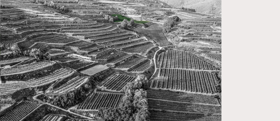
Ried Grub is located in a basin between Ried Heiligenstein and Ried Gaisberg, protected against the wind on three sides and exposed to the south-west. The vineyards have a south-eastern and southern orientation and lie at an elevation of roughly 220 to 360 metres. The calcareous soil has formed from loess and has the consistency of loamy, sandy silt, affected by run-off in places, with string lines of gravel and grit. The Zöbing formation, around 290 million years old, lies beneath the loess with its lime-free silt and sandstones that sometimes crop out. The Administrativkarte NÖ (administrative map of Lower Austria) already recorded vineyards at this location, referring to the plot as “Grub”. Tthe name refers to a basin-type trough.